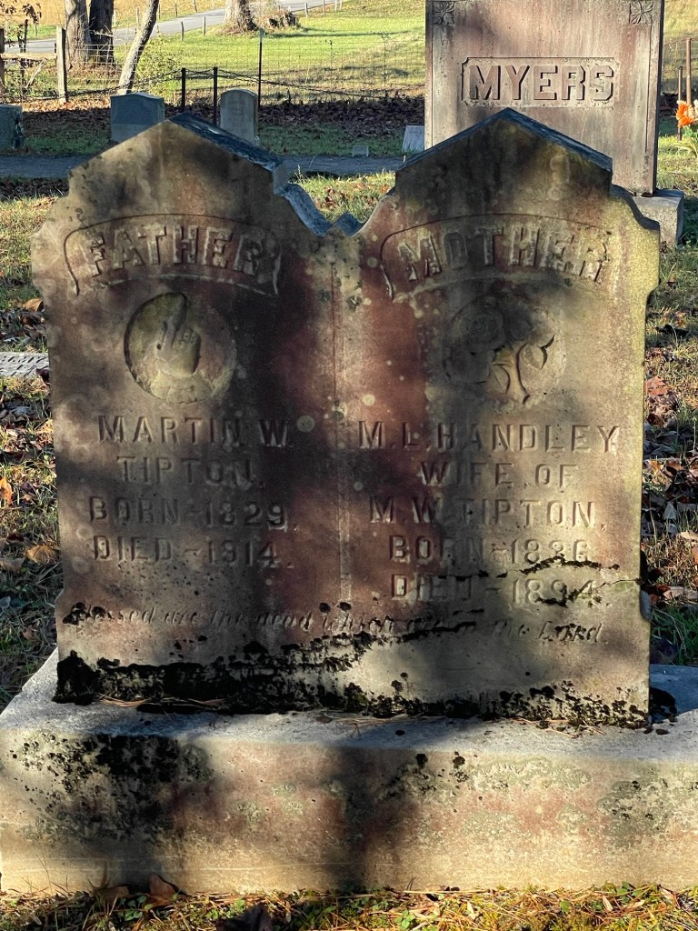
The Smokey mountains were originally settled by the Cherokee Indians. They referred to the area as “shaconage” meaning “blue, like smoke”. The Cherokee farmed the land and built log homes. They tried to accommodate and adapt to the Europeans but the newcomers just took their lands. There are still some Cherokee living in the area. They are descendants of the Eastern band of the Cherokee who somehow managed to avoid being forcibly removed from the area in the 1830’s.
Congress authorized the formation of the park in 1926. They were concerned with the threats to the forests by commercial logging interests. The park was finally established in 1934. It was one of the first National Parks to be assembled from the purchase of private lands by the government.
There is so much to see and do here in this beautiful park. Since I only had a short time to be here, I tried to see as much as I could.
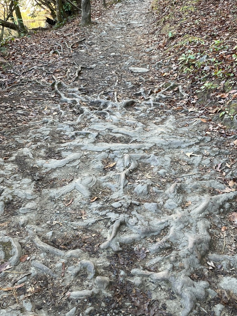
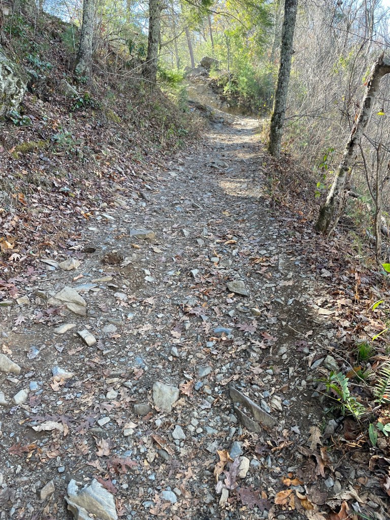
The first time I came here was about 36 years ago. I tried to go to the same places we took our two girls to see when they were about 8 and 4 years old. The first place I drove to was Clingmans Dome. This is the highest elevation in the park and there is an observation tower. It is a relatively short hike but it’s almost straight up! This is where i was able to hop on a section of the Appalachian trail for a bit.

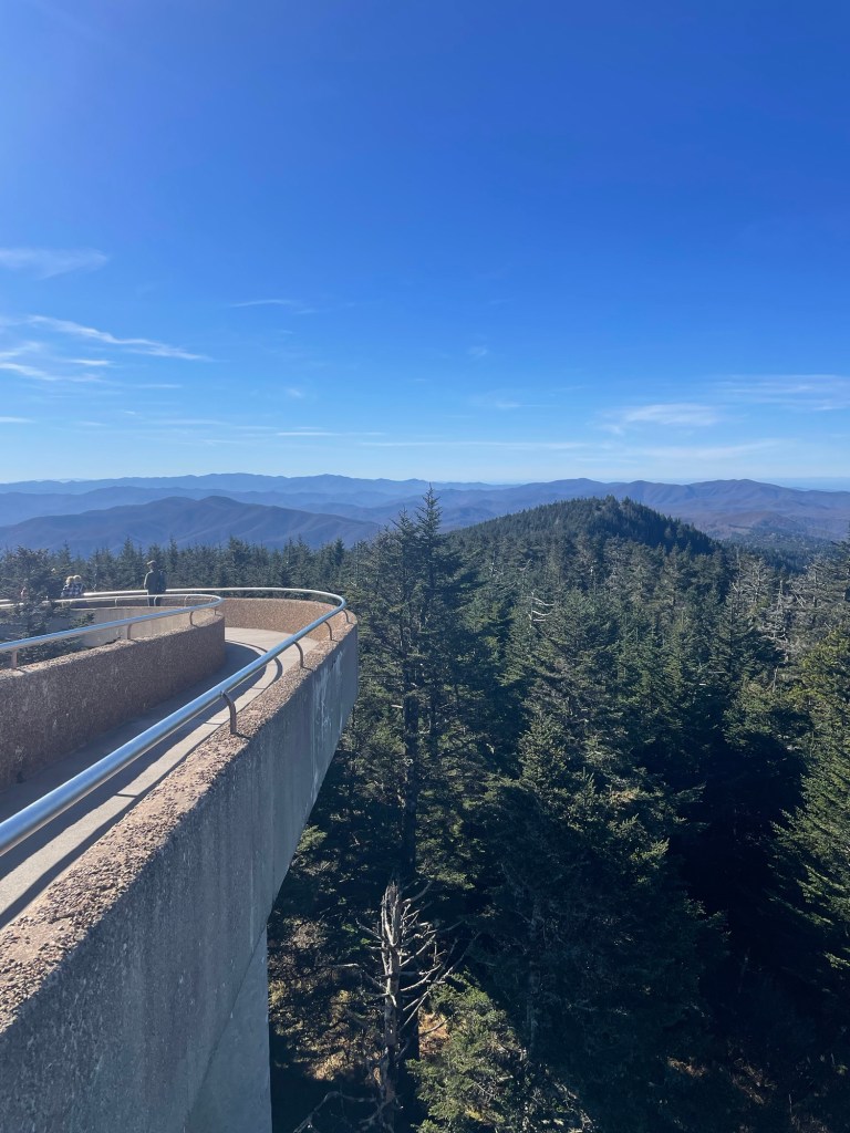


Along the drive up to and back from Clingmans Dome there are several Areas to stop, take a picture, take a hike or just have a picnic!

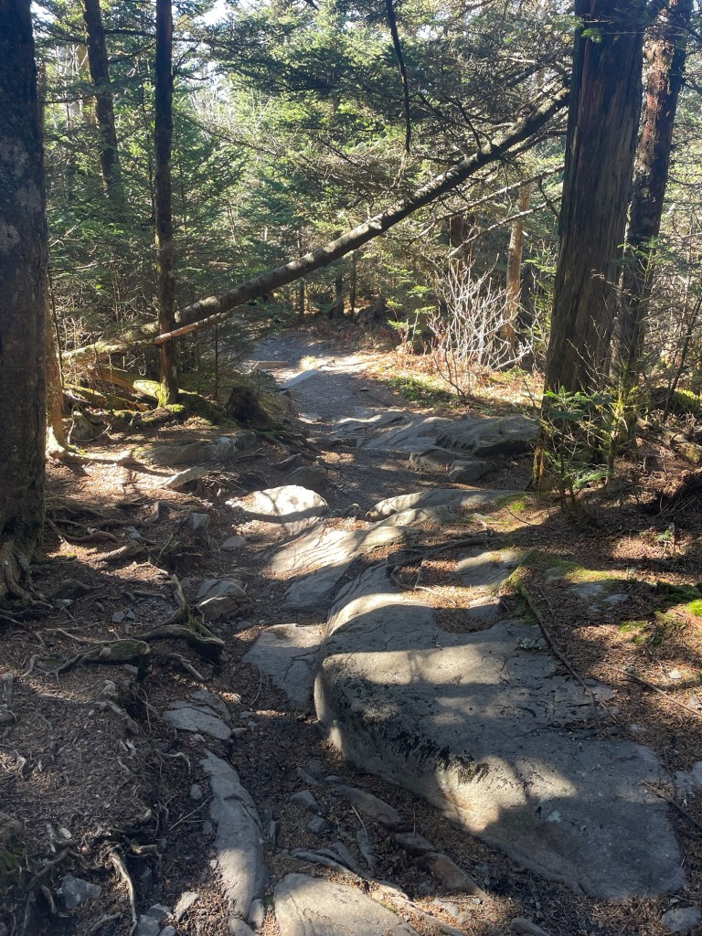
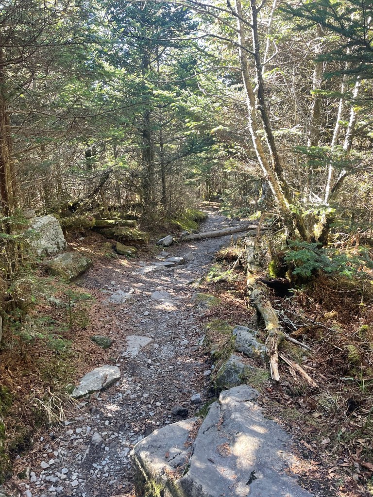
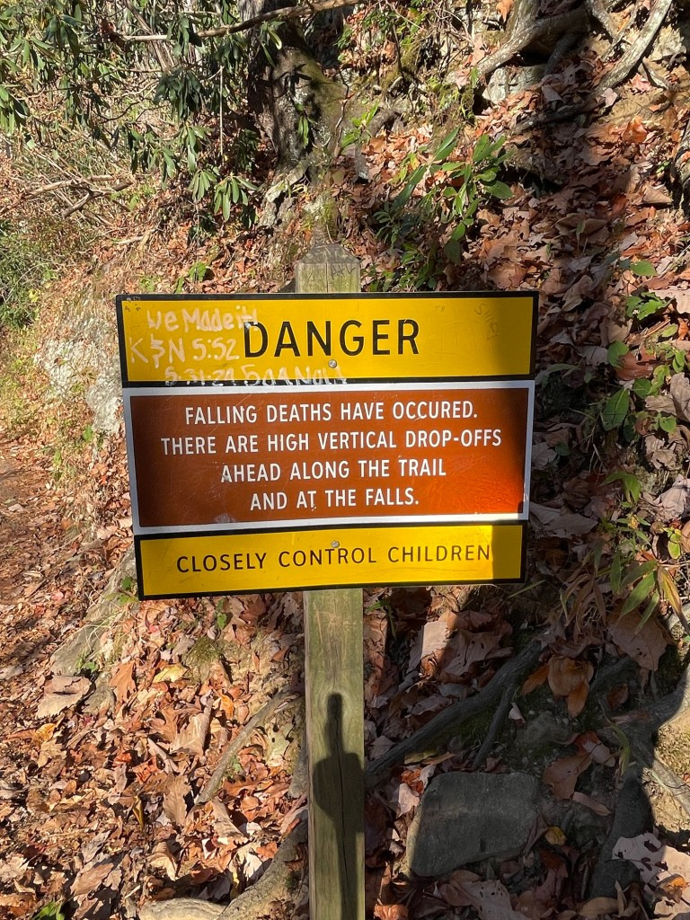
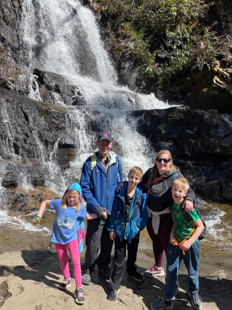
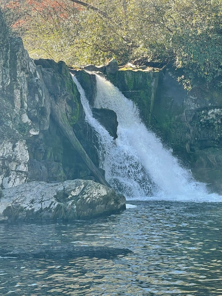
I have discovered a few things about myself while doing these trips. 1.) I love to treat myself to dinner at a lodge in the parks if there is one. Unfortunately there isn’t a lodge that I found here! 2.). I am a sucker for hikes that end up at waterfalls! If there is even a hint that I can see one, I’m going….. even if it is a long or difficult hike!
The Laurel Falls Trail is one that I took yesterday afternoon. My oldest daughter and her family were in the area in March of this year and I believe they visited Laurel Falls too!


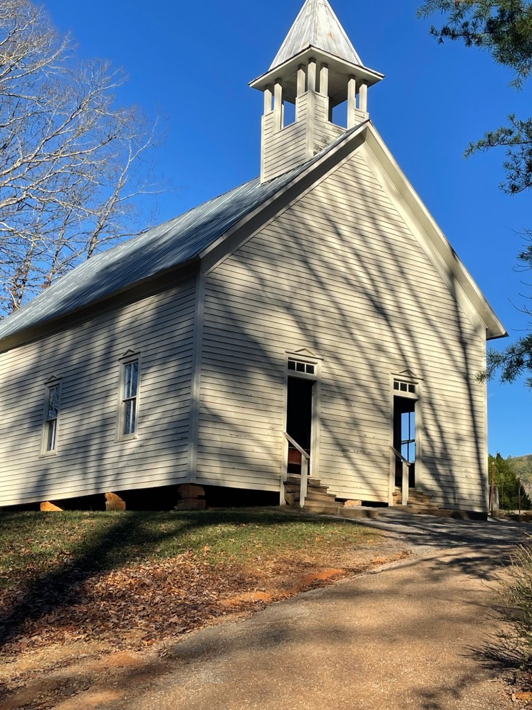
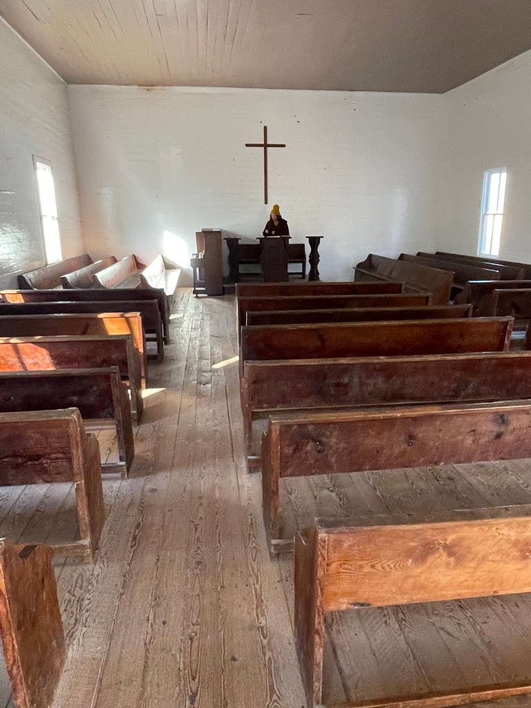
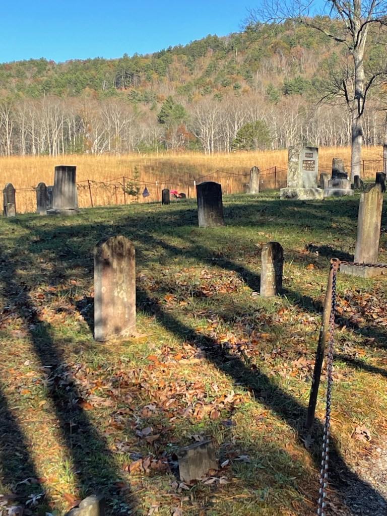
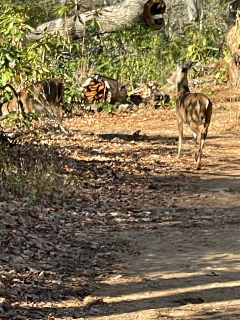
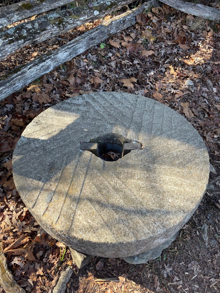
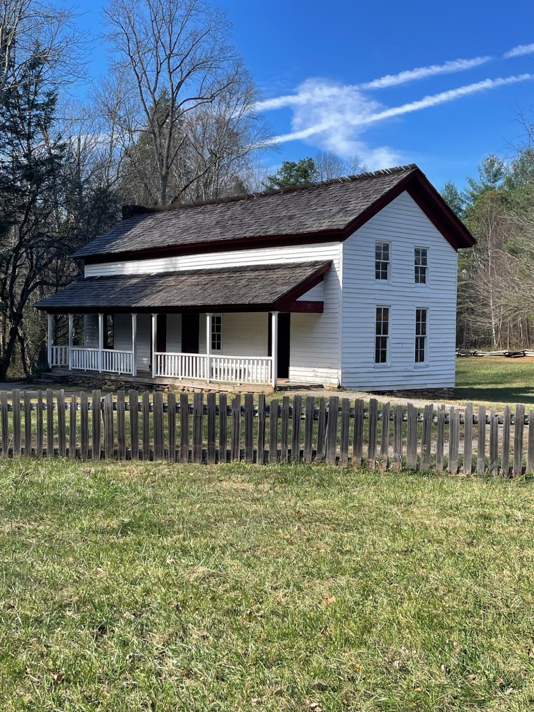
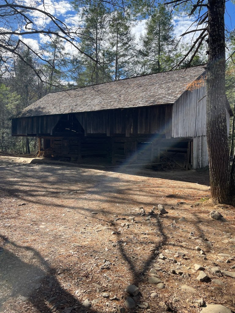
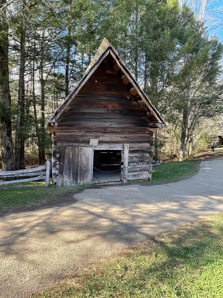
This morning I got up and drove to Cades Cove. This area was settled back in the 1800’s. There is a one way Loop road that gets very crowded during the day. The area has lots to see. Lots of historic buildings and tons of wildlife. When we were there 36 years ago we saw and were able to get a picture of a Black Bear with two cubs. I saw a brief glimpse of one this morning but it was way too far off to get a picture.


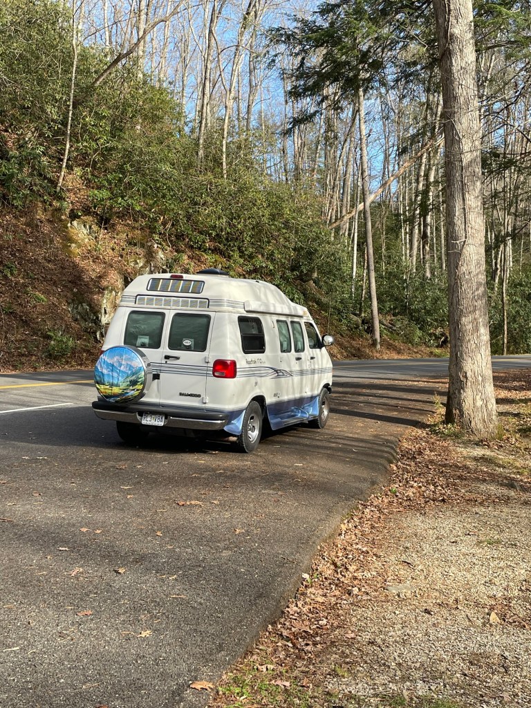
I mentioned how crowded this road gets. This is what it looks like even when it’s not peak season!
At the Cades Cove Visitors center there are many historic buildings.


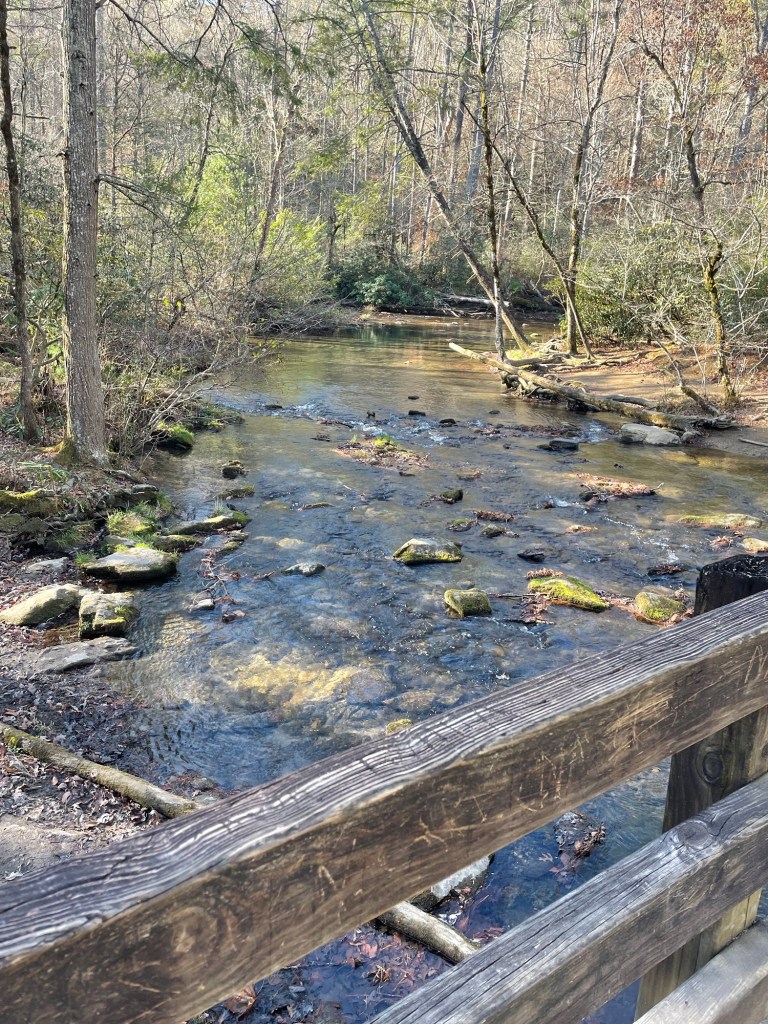
All the roads in the park inevitably run along some type of stream or water. It is just beautiful!
Tomorrow I will be heading to Hickory North Carolina to spend a couple of nights with some high school friends. Then I will be heading to Mammoth Cave National Park for a few days while on my way back home. I will post again after I get to Mammoth Cave.

Leave a comment