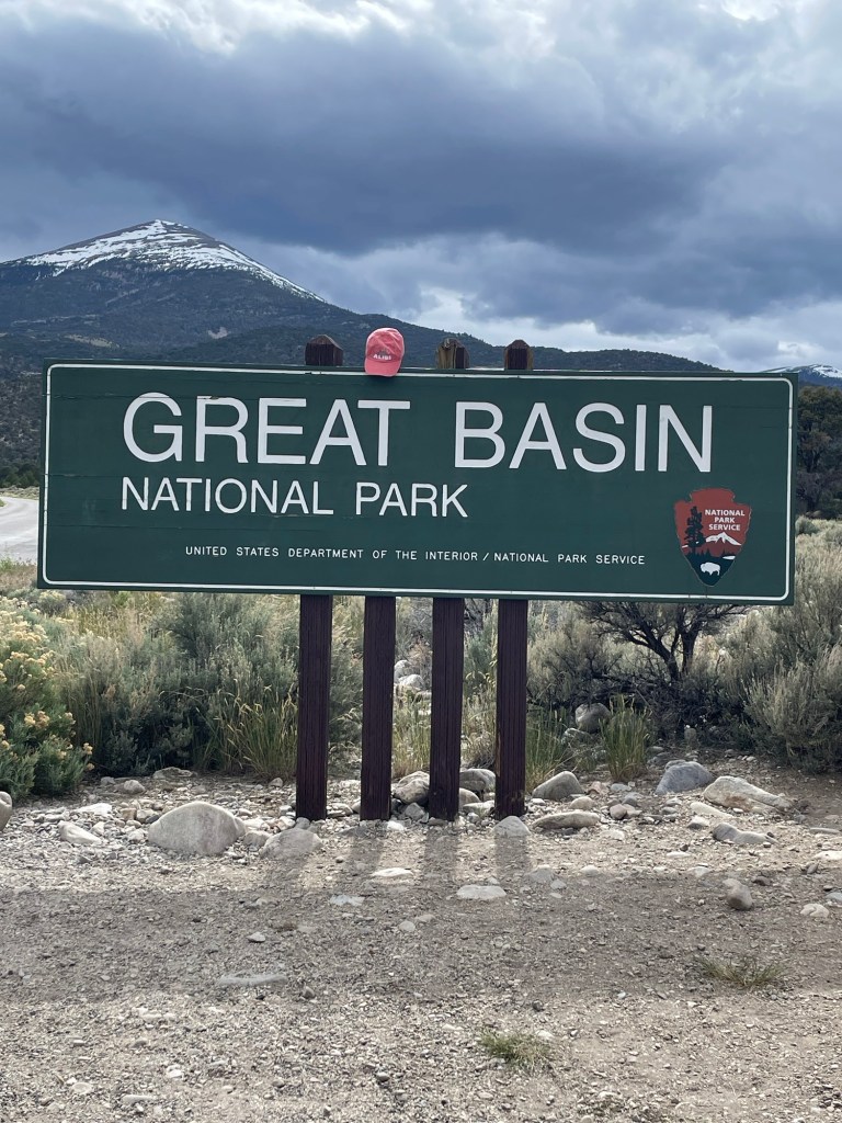
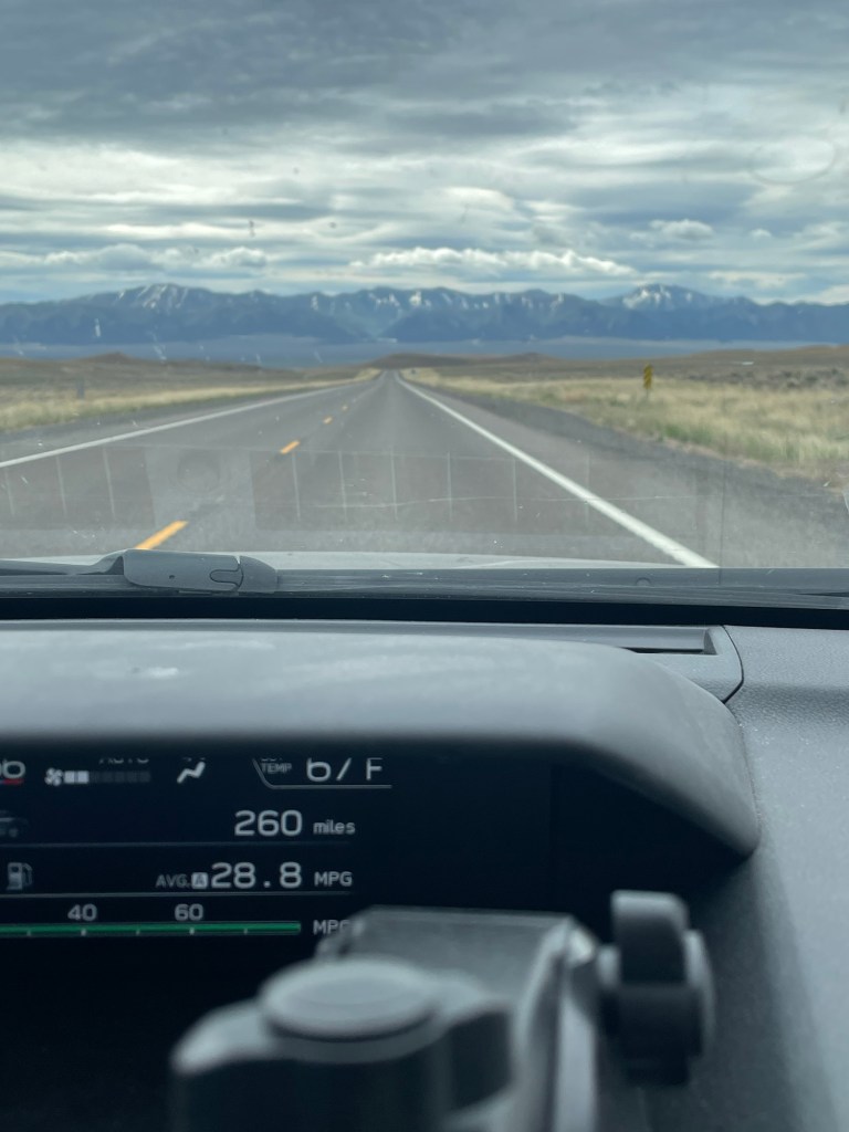
I arrived at the Great Basin National park after a long 6 1/2 hour drive through mountains and desert.
The term “Great Basin” refers to the ancient Bonneville lake. The basin itself is centered in Nevada and covers part of four different states. The Highway I was on for the majority of the drive was Highway 50. Also referred to as the loneliest road in America! The basin stretches from the California’s Sierra Nevada mountains to Utah’s Wasatch Mountains.
The National park was created by congress in 1968. The mountain ranges I traversed are referred to as Mountain Islands in a sea of sagebrush or high desert.
The park was created to preserve the South Snake Range mountains.
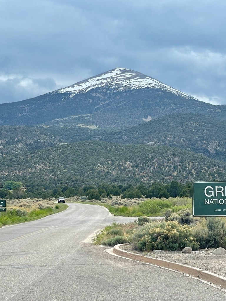
The park covers everything from Glaciers to sagebrush in the desert. There are a couple of lakes to explore too!
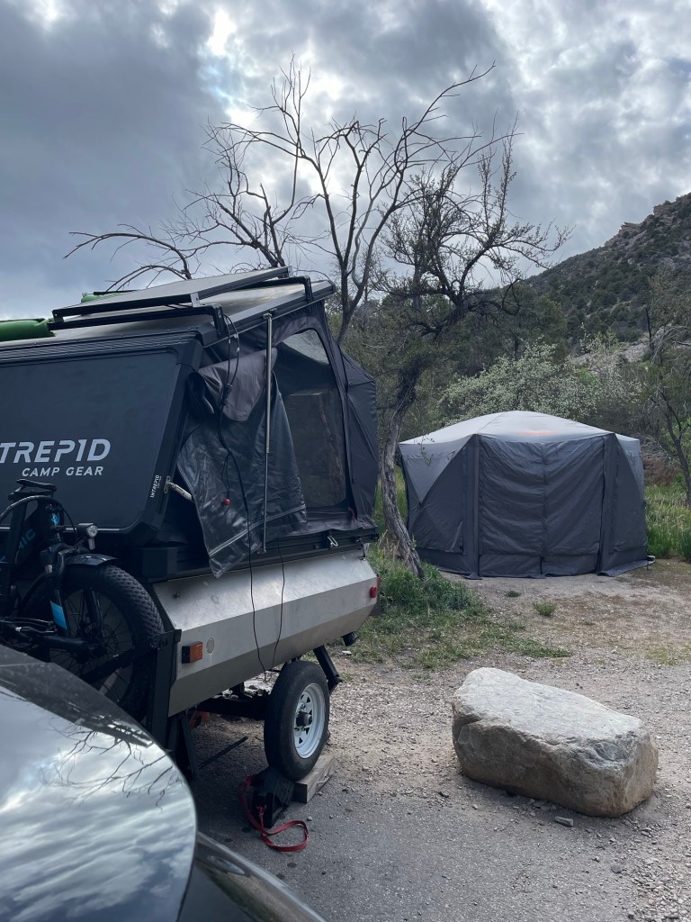
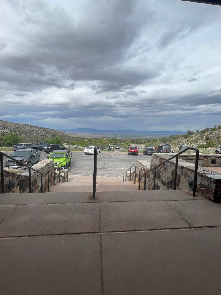
The campground I am staying in is at 7,500 ft in elevation.
I just booked a ticket to take a cave tour of the Lehman caves for Wednesday morning and then some more hiking in the afternoon.

Leave a reply to jar2095 Cancel reply